
The Technology
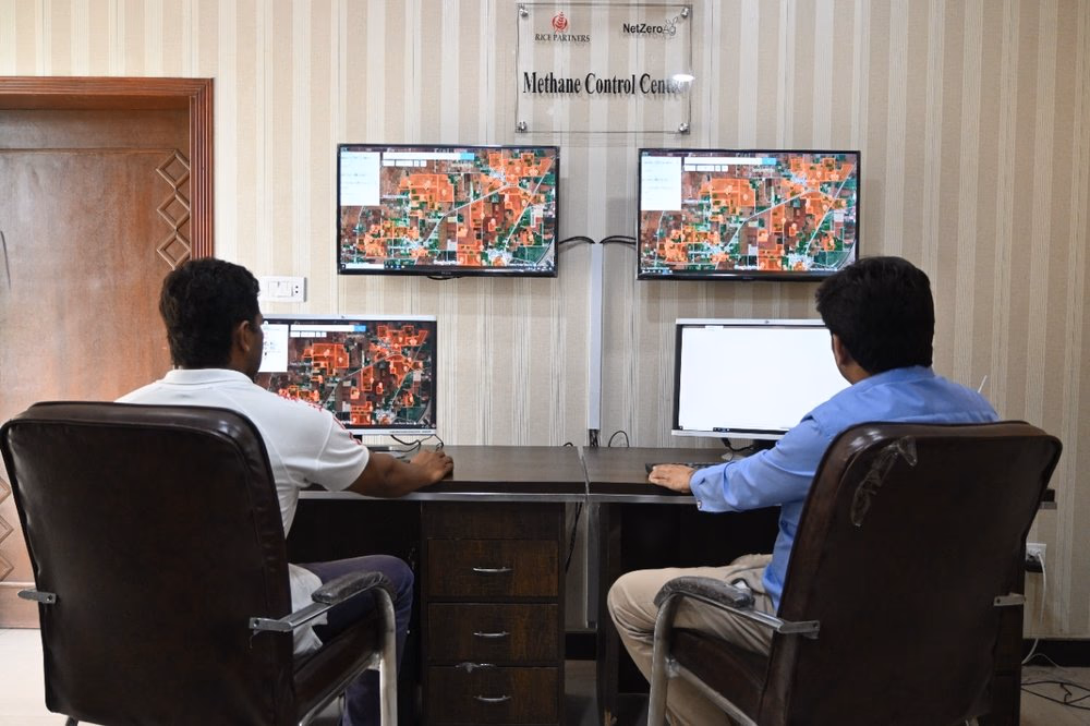
CROPCHECK
CROPCHECK is NetZeroAg's integrated farm management and data platform, developed with support from IRRI. It pulls sensor readings, satellite observations, and farmer inputs into a single traceable system. Field teams use it to run programs at scale. Scientists use it to model emissions at resolution. And auditors use it to verify every credit we issue.
Direct Measurement Chamber
NetZeroAg is a pioneer in deploying closed chamber systems directly on paddy fields to measure methane flux at the source.

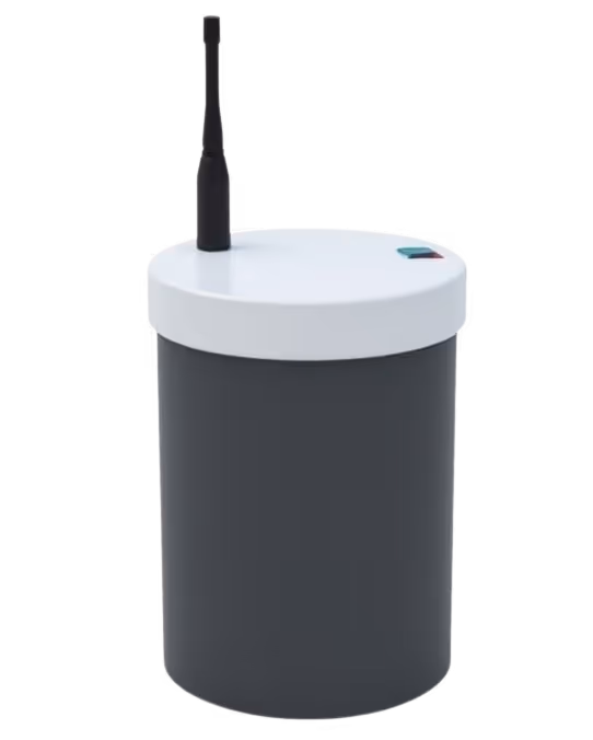
Field Sensors • SCRAM
We don't assume farmers follow AWD practices — we measure it. SCRAM (Society for Climate Resilient Agriculture in Mizoram) is a network of low-cost, ruggedized field sensors deployed across farms to record water levels, soil conditions, and irrigation cycles as they happen. Farmer behavior becomes verifiable data, automatically.
Monitors flooding and drying cycles across entire regions · Corroborates on-farm sensor and farmer-reported data · Continuous coverage — not just seasonal snapshots
Satellite Insights from Rice Emissions • SIREN
SIREN monitors rice paddies continuously from orbit — tracking flood and dry cycles, validating farmer-reported practices, and detecting anomalies across entire growing regions. What would take hundreds of field officers to verify, SIREN does at scale, with objective consistency.
Monitors flooding and drying cycles across entire regions · Corroborates on-farm sensor and farmer-reported data · Continuous coverage — not just seasonal snapshots
From field to credit, nothing is assumed.
Every data point follows a clear, auditable path. From the moment a sensor records a water level to the moment a credit is issued, it's measured, cross-referenced, and verified.
The first AI built for the farmer, in the field
Kissan Dost (“Farmer Friend”) is a voice-based AI assistant for smallholder farmers. It works on basic phones, speaks local languages, and provides real-time farming guidance — from irrigation timing to identifying crop issues and logging AWD cycles. For many farmers, it’s their first access to expert advice in their own language, exactly when needed.
It also feeds field activity and practice data back into our system, continuously improving emissions tracking and modelling.